Dutch wadden region
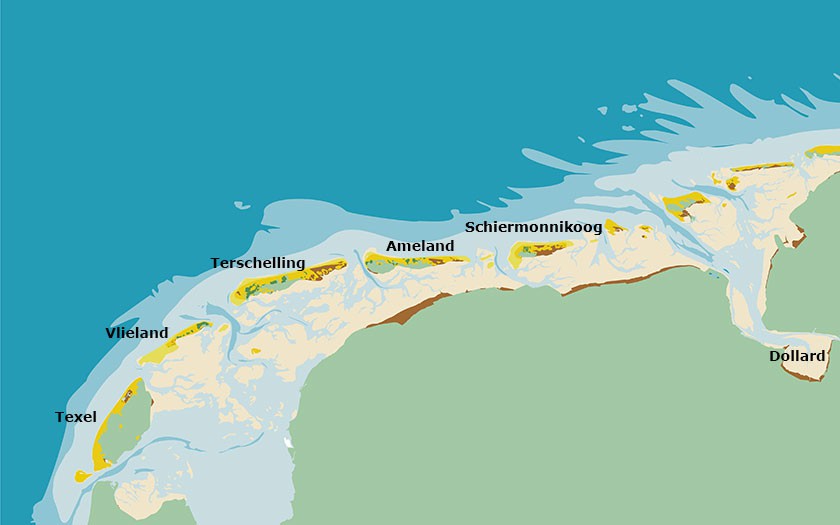
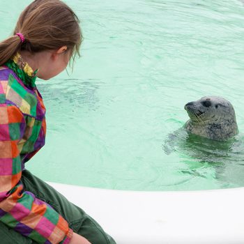
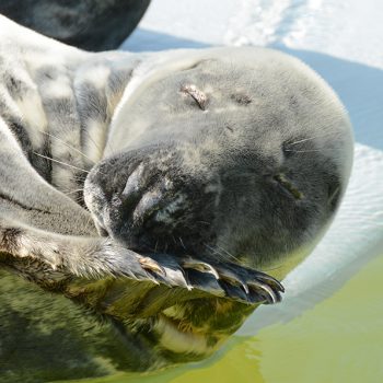
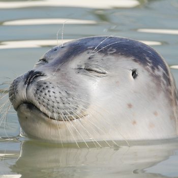
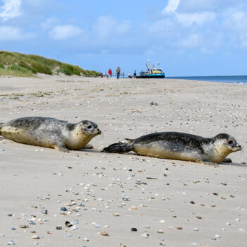
The Dutch wadden region has five inhabited and three uninhabited islands. The ‘Afsluitdijk’ (Enclosure Dam) forms a solid border with the freshwater IJsselmeer. The sea dikes along the Holland, Frisian and Groningen coasts protect the sea clay regions, formed when the marshes were reclaimed. The German border lies to the east, by the Ems-Dollard estuary. Because the tidal differences in the Dutch Wadden Sea are not great (1 to 2 meters), the currents are relatively slow, allowing lots of sand and mud to subside. Many banks lay exposed during low tide, which is good for seals and shorebirds.
Facts and figures for the Dutch Wadden Islands:
| Texel | Vlieland | Terschelling | Ameland | Schiermonnikoog | |
|---|---|---|---|---|---|
| Length (km) | 23,7 | 12 | 30 | 28 | 18 |
| Width (km) | 9,6 | 2 | 3,5 | 2,5 | 3 |
| Surface area (ha) | 16.328 | 4056 | 8935 | 5730 | 3994 |
| Water surface (ha) | 42.500 | 27994 | 58465 | 21543 | 15125 |
| Bike paths (km) | 135 | 26 | 70 | 100 | 30 |
| Number of visitors | 922.000 | 140.000 | 500.000 | 554.000 | 300.000 |
| Length of beach (km) | 28 | 12 | 20 | 27 | 18 |
Wadden coastline and surface area fluctuate regularly
Around the year 1200, the Dutch wadden region began by the dunes of Schoorl. Callantsoog (‘t Oghe) was the first wadden island; Huisduinen was the second. The Zuiderzee, the Frisian Middle Sea and the Lauwersmeer were connected to the Wadden Sea and the Dollard was not yet formed. The coastline of the present-day wadden region is the result of a long history of land reclamation, various waterworks and flood disasters whereby the sea won back the land.
Nature in the Dutch Wadden Sea
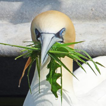
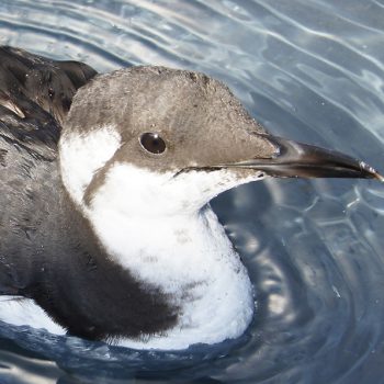
Nature in the wadden region is very unusual in two ways. First of all, the Wadden Sea has been designated as a World Heritage area for a reason. The currents and tides make this region only suitable for the true survivors among the plants and animals. The variety is maybe limited, but the species that live here are present in enormous amounts.
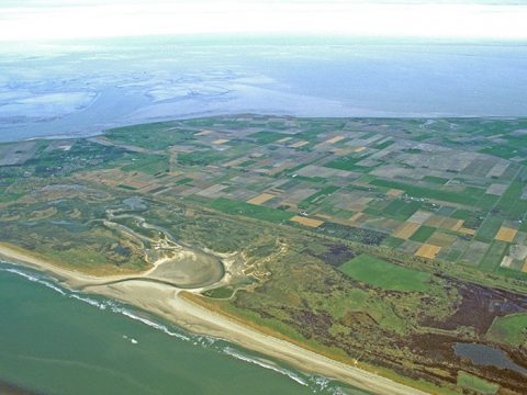
When you include the coastal polders and islands, you find a vast array of landscapes within a small surface. From south to north: clay polders, dike, salt marsh, mud flats, tidal channels, mud flats, salt marsh, island dike, island polder, woods, dunes, beach and coastal sea. That is why the natural richness of the ‘wadden’ is so great, and that a lot of areas have been proclaimed protected nature reserves.
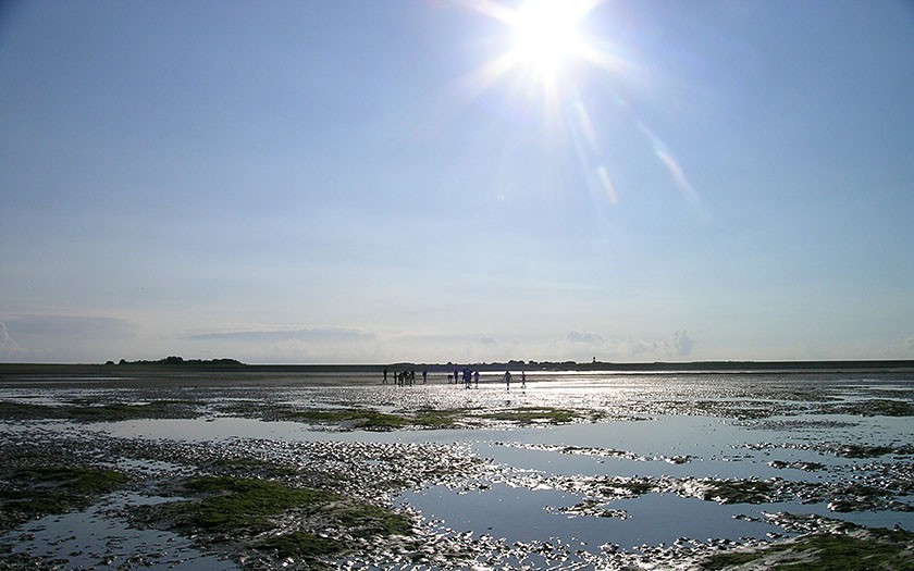
People on the Dutch mud flats
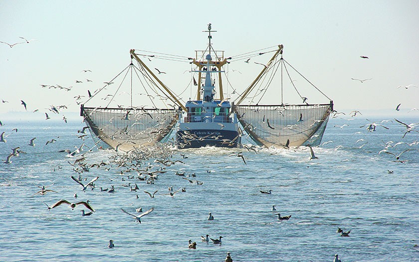
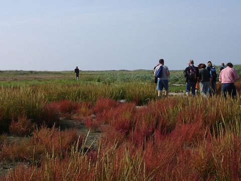
We people have contributed a lot to shaping the wadden region. We are often found on the flats. There are those who come for their profession, such as fishermen. However, most people come in their free time. Hiking the flats, sailing, motoring and other forms of coastal recreation are popular. In addition, thousands of nature lovers visit the wadden region every year.
On Ameland, in the North Sea coastal zone and on the flats, there is exploitation for gas. Sand is extracted in a few places. The military practices in the Lauwersmeer region and on the Vliehors. Den Helder, Harlingen, Delfzijl and the Eems Harbor are important ports with industrial activities, where busy shipping routes run to. Sometimes, the Wadden Sea is dredged in order to maintain sufficient draft in the channels.


