Wadden
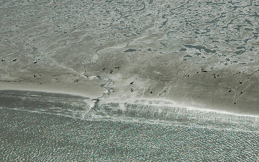
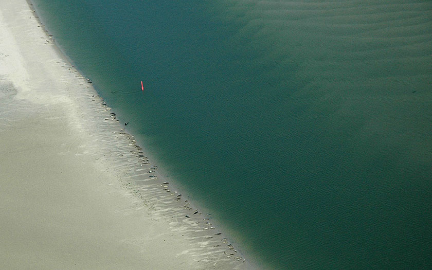
The wadden, or tidal flats, are those parts in the Wadden Sea which emerge during low tide. They are sandy or silty banks transected by channels and creeks. Sometimes people use the term ‘wadden’ to refer to the entire tidal region, including the islands and the deeper channels. In Groningen, the term ‘wad’ only refers to the sandy exposed banks. When the bank is covered in a thick layer of mud, then they are mud flats. The origin of the word ‘wad’ comes from the Old Frisian word ‘vade’, which means to ford or wade through.
Mud flats
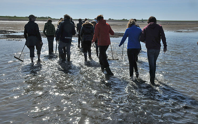
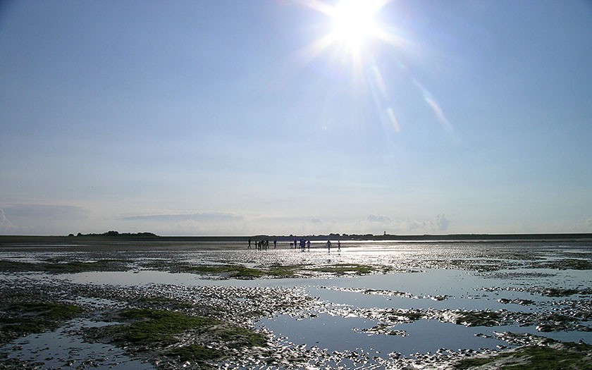
The land that is exposed as the water recedes along the Frisian-Groningen coast is the muddiest. It’s difficult to pass through but is lots of fun to try! The Groningers do not talk about the ‘wad’ but over mud flats (‘slikken’). In the southern Netherlands, the term mud flats refers to all exposed areas in the sea channels of the Delta.
Sandbanks or flats
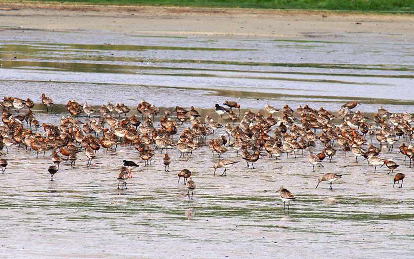
Many small sand grains, clay particles and flakes of animal wastes drift in the turbulent North Sea. The clay particles and nutrient-rich waste stick to one another. It all sinks to the bottom where the seawater in the Wadden Sea is at rest. That’s how flats are created. The muddy flats are very rich in nutrients. Lots of algae live on the surface and lots of bacteria live in the bottom. Many benthic animals live off of it. During high tide, it is a rich foraging area for shrimp and fish. During low tide, shorebirds scrounge on the benthic animals.
Channels through the flats
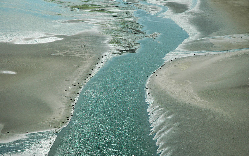
The channels in the Wadden Sea are too deep to empty during low tide. The ebb and flood currents have carved out the channels. The largest channels are deeper than 40 meters and serve as navigational routes for ships. This is also where benthic animals, marine mammals and sea fish live. The tidal flat fishermen catch shrimp and flatfish here. Mussels are farmed on the sides of the channels.
Creeks through the flats
Tidal creeks are small channels between the flats that empty of water totally during low tide. When the sea starts to ebb, it flows from the flats via the creeks to the channels. As the flats become exposed, the animals that have fed on the benthic animals follow the creeks to deeper water. During ebb, it is easy to catch lots of shrimp in these creeks.
Slack tide in the Wadden Sea
Two flood currents meet each other behind the islands. The seawater comes to a standstill, allowing sediment particles to sink. Here the channels are the shallowest. Such a place is called slack tide. Mud flat hikes cross over the flats at the slack tidal areas during low tide. Buoys mark the deepest route over the slack tide area in the Wadden Sea, so that boats with a small draught can navigate over this shallow region during high tide. The slack tide is always located on the east side of a wadden iIsland because the flood comes from the west. The flood in the western sea channel has already advanced much further before it reaches the eastern sea channel.
Benthic life in the wadden
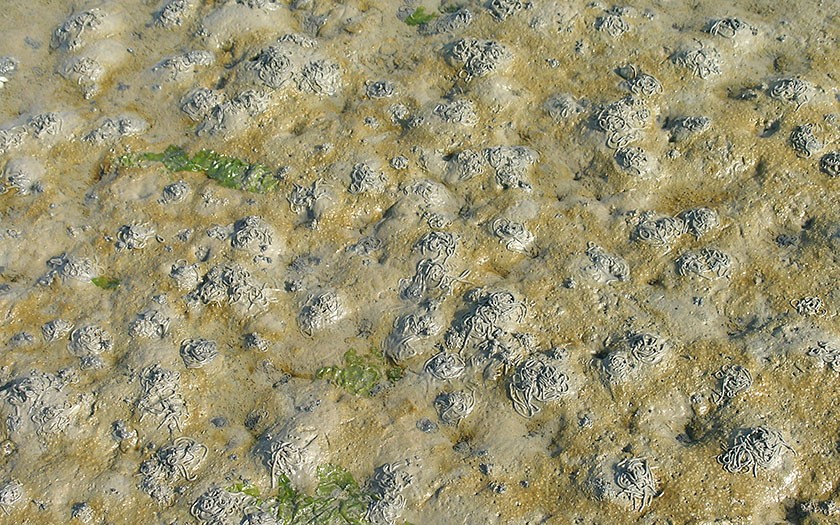
The bottom of the tidal area is densely populated with all kinds of benthic animals. They feed mostly on phytoplankton or zooplankton, which they filter out of the seawater, or on one-celled algae, bacteria and animals dwelling on the tidal floor. That small fry is very numerous since it profits from a continual supply of nutrients from the rivers and the North Sea. Birds eat the benthic animals during low tide; fish, shrimp, crabs and hermit crabs do the same during high tide.
WWW
Discover the magic of the Wadden Sea
Discover Wadden Sea World Heritage in this interactive exhibition.
Read more


